
Thank you for supporting this site ❤️
Make a donation
Make a donation
Great Hallingbury topographic map
Click on the map to display elevation.
Thank you for supporting this site ❤️
Make a donation
Make a donation
About this map
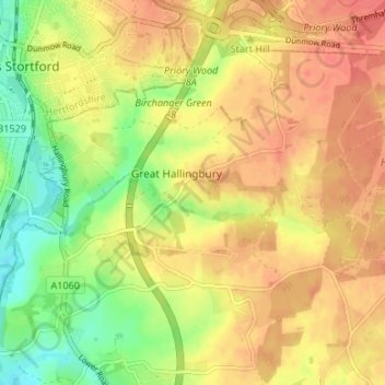
Name: Great Hallingbury topographic map, elevation, terrain.
Location: Great Hallingbury, Uttlesford, Essex, England, United Kingdom (51.83344 0.16937 51.87462 0.22570)
Average elevation: 81 m
Minimum elevation: 50 m
Maximum elevation: 103 m
Thank you for supporting this site ❤️
Make a donation
Make a donation