
Thank you for supporting this site ❤️
Make a donation
Make a donation
Drew topographic map
Click on the map to display elevation.
Thank you for supporting this site ❤️
Make a donation
Make a donation
About this map
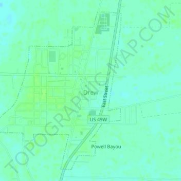
Name: Drew topographic map, elevation, terrain.
Location: Drew, Sunflower County, Mississippi, United States (33.79805 -90.54331 33.82158 -90.52101)
Average elevation: 42 m
Minimum elevation: 38 m
Maximum elevation: 46 m
Thank you for supporting this site ❤️
Make a donation
Make a donation
Other topographic maps
Click on a map to view its topography, its elevation and its terrain.