
Coro topographic map
Interactive map
Click on the map to display elevation.
About this map
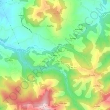
Name: Coro topographic map, elevation, terrain.
Location: Coro, Villaviciosa, 33316, España (43.43502 -5.42651 43.47502 -5.38651)
Average elevation: 204 m
Minimum elevation: 18 m
Maximum elevation: 495 m