
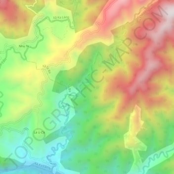
Nậm Lẹ topographic map
Interactive map
Click on the map to display elevation.
About this map
Name: Nậm Lẹ topographic map, elevation, terrain.
Location: Nậm Lẹ, Xã Ka Lăng, Huyện Mường Tè, Lai Châu, Vietnam (22.57082 102.51524 22.61494 102.54450)
Average elevation: 722 m
Minimum elevation: 294 m
Maximum elevation: 1,228 m