
Pralonzet topographic map
Interactive map
Click on the map to display elevation.
About this map
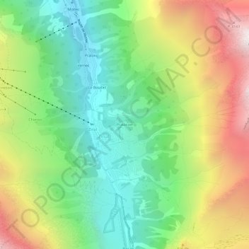
Name: Pralonzet topographic map, elevation, terrain.
Location: Pralonzet, Zinal, Anniviers, Sierre, Valais, 3961, Suisse (46.11817 7.61170 46.15817 7.65170)
Average elevation: 2,227 m
Minimum elevation: 1,540 m
Maximum elevation: 3,300 m
Other topographic maps
Click on a map to view its topography, its elevation and its terrain.