
Vals topographic map
Interactive map
Click on the map to display elevation.
About this map
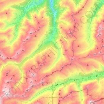
Name: Vals topographic map, elevation, terrain.
Location: Vals, Surselva, Grisons, 7132, Suisse (46.49395 9.01662 46.68213 9.24341)
Average elevation: 2,177 m
Minimum elevation: 969 m
Maximum elevation: 3,332 m
Le village est situé à 1 250 mètres d'altitude, au fond de la vallée des Grisons. Le Rhin prend en partie sa source ici.
Other topographic maps
Click on a map to view its topography, its elevation and its terrain.
Lai da Curnera
Suisse > Grisons > Surselva > Tujetsch
Lai da Curnera, Tujetsch, Surselva, Grisons, Suisse
Average elevation: 2,275 m