
Thank you for supporting this site ❤️
Make a donation
Make a donation
Almyra topographic map
Click on the map to display elevation.
Thank you for supporting this site ❤️
Make a donation
Make a donation
About this map
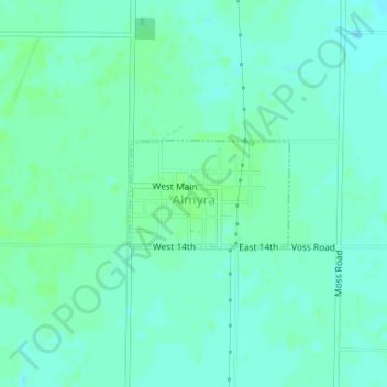
Name: Almyra topographic map, elevation, terrain.
Location: Almyra, Arkansas County, Arkansas, 72003, United States (34.40200 -91.41762 34.40945 -91.40411)
Average elevation: 61 m
Minimum elevation: 57 m
Maximum elevation: 66 m
Thank you for supporting this site ❤️
Make a donation
Make a donation
Other topographic maps
Click on a map to view its topography, its elevation and its terrain.