
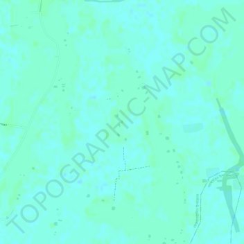
Pond Of Sofiq Maowlana topographic map
Interactive map
Click on the map to display elevation.
About this map
Name: Pond Of Sofiq Maowlana topographic map, elevation, terrain.
Average elevation: 4 m
Minimum elevation: 1 m
Maximum elevation: 7 m
Other topographic maps
Click on a map to view its topography, its elevation and its terrain.
Flood
Bangladesh > Barishal Division > Borhanuddin Subdistrict
Flood, Borhanuddin Subdistrict, Bhola District, Barishal Division, Bangladesh
Average elevation: 1 m