
Sistema Central topographic map
Interactive map
Click on the map to display elevation.
About this map
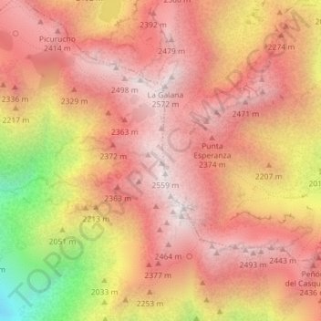
Name: Sistema Central topographic map, elevation, terrain.
Location: Sistema Central, Candeleda, Ávila, Kastilien und León, Spanien (40.24995 -5.30005 40.25005 -5.29995)
Average elevation: 2,191 m
Minimum elevation: 1,472 m
Maximum elevation: 2,542 m