
Carretera topographic map
Click on the map to display elevation.
About this map
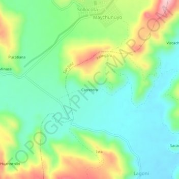
Name: Carretera topographic map, elevation, terrain.
Location: Carretera, Azángaro, Puno, Perú (-14.76937 -70.14101 -14.72937 -70.10101)
Average elevation: 4,006 m
Minimum elevation: 3,929 m
Maximum elevation: 4,159 m