
Atisan topographic map
Click on the map to display elevation.
About this map
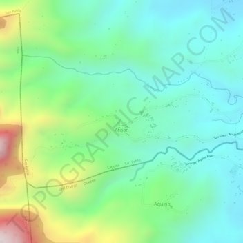
Name: Atisan topographic map, elevation, terrain.
Location: Atisan, San Pablo, Laguna, Calabarzon, 4000, Philippines (13.96949 121.26005 13.98540 121.28992)
Average elevation: 271 m
Minimum elevation: 73 m
Maximum elevation: 712 m
Other topographic maps
Click on a map to view its topography, its elevation and its terrain.