
Thank you for supporting this site ❤️
Make a donation
Make a donation
Kashtagra topographic map
Click on the map to display elevation.
Thank you for supporting this site ❤️
Make a donation
Make a donation
About this map
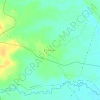
Name: Kashtagra topographic map, elevation, terrain.
Location: Kashtagra, Rampurhat - I, Birbhum, West Bengal, 731216, India (24.10102 87.68869 24.14102 87.72869)
Average elevation: 43 m
Minimum elevation: 34 m
Maximum elevation: 59 m
Thank you for supporting this site ❤️
Make a donation
Make a donation