
Thank you for supporting this site ❤️
Make a donation
Make a donation
Kijang topographic map
Click on the map to display elevation.
Thank you for supporting this site ❤️
Make a donation
Make a donation
About this map
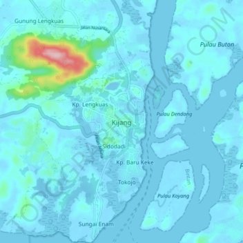
Name: Kijang topographic map, elevation, terrain.
Location: Kijang, Bintan, Riau Islands, Sumatra, 29151, Indonesia (0.81008 104.56298 0.89008 104.64298)
Average elevation: 14 m
Minimum elevation: -5 m
Maximum elevation: 203 m
Thank you for supporting this site ❤️
Make a donation
Make a donation