
Thank you for supporting this site ❤️
Make a donation
Make a donation
Bleid topographic map
Click on the map to display elevation.
Thank you for supporting this site ❤️
Make a donation
Make a donation
About this map
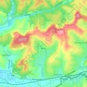
Name: Bleid topographic map, elevation, terrain.
Location: Bleid, Virton, Luxembourg, Wallonie, Belgique (49.54548 5.58526 49.59625 5.64418)
Average elevation: 257 m
Minimum elevation: 212 m
Maximum elevation: 327 m
Thank you for supporting this site ❤️
Make a donation
Make a donation