
Thank you for supporting this site ❤️
Make a donation
Make a donation
Bolnes topographic map
Click on the map to display elevation.
Thank you for supporting this site ❤️
Make a donation
Make a donation
About this map
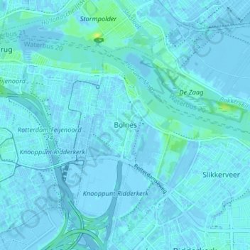
Name: Bolnes topographic map, elevation, terrain.
Location: Bolnes, Ridderkerk, Zuid-Holland, Nederland, 2987 CW, Nederland (51.87166 4.56192 51.91166 4.60192)
Average elevation: 1 m
Minimum elevation: -4 m
Maximum elevation: 13 m
Thank you for supporting this site ❤️
Make a donation
Make a donation