
Thank you for supporting this site ❤️
Make a donation
Make a donation
Fornarelli topographic map
Click on the map to display elevation.
Thank you for supporting this site ❤️
Make a donation
Make a donation
About this map
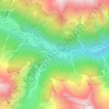
Name: Fornarelli topographic map, elevation, terrain.
Average elevation: 1,650 m
Minimum elevation: 996 m
Maximum elevation: 2,459 m
Thank you for supporting this site ❤️
Make a donation
Make a donation
Other topographic maps
Click on a map to view its topography, its elevation and its terrain.
Ghiacciaio del Belvedere
Italia > Piemonte > Verbano-Cusio-Ossola > Macugnaga
Average elevation: 2,214 m