
Dangoli topographic map
Click on the map to display elevation.
About this map
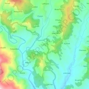
Name: Dangoli topographic map, elevation, terrain.
Location: Dangoli, Garud, Bageshwar District, Uttarakhand, 263635, India (29.91196 79.59101 29.95196 79.63101)
Average elevation: 1,223 m
Minimum elevation: 1,122 m
Maximum elevation: 1,476 m
Other topographic maps
Click on a map to view its topography, its elevation and its terrain.