
Ongandi topographic map
Interactive map
Click on the map to display elevation.
About this map
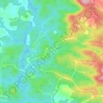
Name: Ongandi topographic map, elevation, terrain.
Location: Ongandi, Méfou-et-Afamba, CE, Cameroun (3.87512 11.62678 3.91512 11.66678)
Average elevation: 678 m
Minimum elevation: 615 m
Maximum elevation: 805 m