
1170 topographic map
Interactive map
Click on the map to display elevation.
About this map
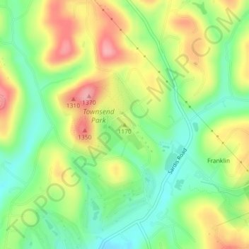
Name: 1170 topographic map, elevation, terrain.
Average elevation: 343 m
Minimum elevation: 288 m
Maximum elevation: 411 m
Other topographic maps
Click on a map to view its topography, its elevation and its terrain.
1360
États-Unis d'Amérique > Pennsylvanie > Murrysville
1360, Murrysville, Westmoreland County, Pennsylvanie, 15668, États-Unis d'Amérique
Average elevation: 335 m