
Thank you for supporting this site ❤️
Make a donation
Make a donation
Làng Nủ topographic map
Click on the map to display elevation.
Thank you for supporting this site ❤️
Make a donation
Make a donation
About this map
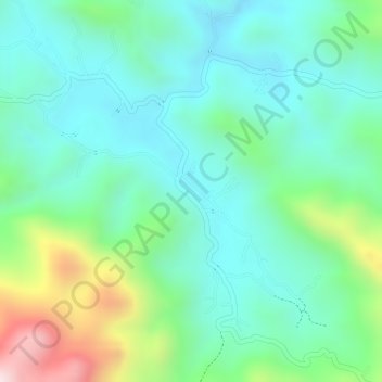
Name: Làng Nủ topographic map, elevation, terrain.
Location: Làng Nủ, Bảo Yên District, Lào Cai Province, Vietnam (22.13643 104.52382 22.15643 104.54382)
Average elevation: 271 m
Minimum elevation: 135 m
Maximum elevation: 613 m
Thank you for supporting this site ❤️
Make a donation
Make a donation