
Jevoumont topographic map
Interactive map
Click on the map to display elevation.
About this map
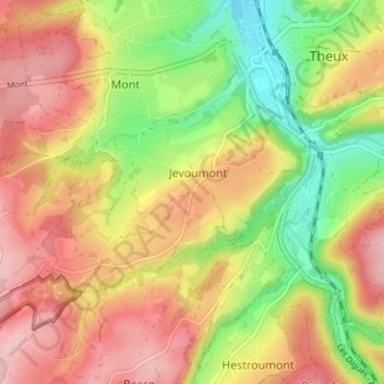
Name: Jevoumont topographic map, elevation, terrain.
Location: Jevoumont, Theux, Verviers, Liège, Wallonie, 4910, Belgique (50.50163 5.78137 50.54163 5.82137)
Average elevation: 256 m
Minimum elevation: 155 m
Maximum elevation: 346 m