
Montfoort topographic map
Interactive map
Click on the map to display elevation.
About this map
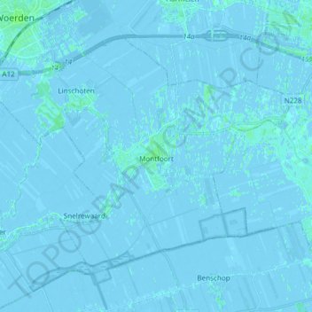
Name: Montfoort topographic map, elevation, terrain.
Location: Montfoort, Utrecht, Nederland (52.01001 4.86823 52.07992 5.01801)
Average elevation: 0 m
Minimum elevation: -5 m
Maximum elevation: 5 m
Other topographic maps
Click on a map to view its topography, its elevation and its terrain.
Huis Te Linschoten
Nederland > Utrecht > Montfoort
Huis Te Linschoten, Montfoort, Utrecht, Nederland, 3461AC, Nederland
Average elevation: 0 m