
City of London topographic map
Interactive map
Click on the map to display elevation.
About this map
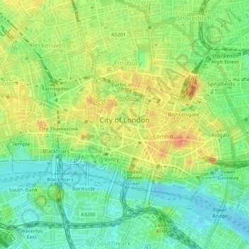
Name: City of London topographic map, elevation, terrain.
Location: City of London, Groß-London, England, Vereinigtes Königreich (51.50687 -0.11382 51.52331 -0.07275)
Average elevation: 21 m
Minimum elevation: -1 m
Maximum elevation: 44 m