
Brunnenkopf topographic map
Interactive map
Click on the map to display elevation.
About this map
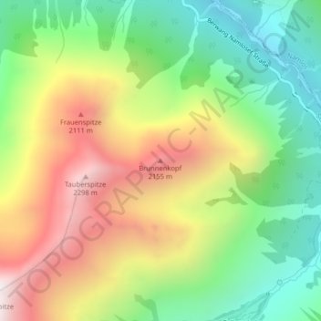
Name: Brunnenkopf topographic map, elevation, terrain.
Location: Brunnenkopf, Stanzach, Bezirk Reutte, 6642, Österreich (47.35748 10.61309 47.35758 10.61319)
Average elevation: 1,646 m
Minimum elevation: 1,115 m
Maximum elevation: 2,351 m