
Make a donation
Cambrai topographic map
Click on the map to display elevation.
Make a donation
Cambrai
Precipitation is distributed year-round, with highs in the spring and autumn, with February being the driest month. Contrasting with the rainy image of the region, the total annual precipitation is relatively small with 642 millimetres (25.3 in) at Cambrai-Épinoy; identical to the Montsouris Paris station, which is at the same altitude, it is less than those of Toulouse at 656 millimetres (25.8 in) or Nice at 767 millimetres (30.2 in). However, the number of days of rain (63 in Nice, 120 in Cambrai) confirms the oceanic character of the climate.
Make a donation
About this map
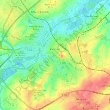
Name: Cambrai topographic map, elevation, terrain.
Average elevation: 67 m
Minimum elevation: 40 m
Maximum elevation: 102 m
Make a donation
Other topographic maps
Click on a map to view its topography, its elevation and its terrain.
Make a donation
Make a donation
Make a donation