
Thank you for supporting this site ❤️
Make a donation
Make a donation
Gangrar topographic map
Click on the map to display elevation.
Thank you for supporting this site ❤️
Make a donation
Make a donation
About this map
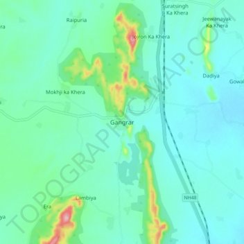
Name: Gangrar topographic map, elevation, terrain.
Location: Gangrar, Gangrar Tehsil, Chittorgarh, Rajasthan, 312900, India (25.01145 74.57015 25.09145 74.65015)
Average elevation: 428 m
Minimum elevation: 398 m
Maximum elevation: 566 m
Thank you for supporting this site ❤️
Make a donation
Make a donation