
Thank you for supporting this site ❤️
Make a donation
Make a donation
Malinta topographic map
Click on the map to display elevation.
Thank you for supporting this site ❤️
Make a donation
Make a donation
About this map
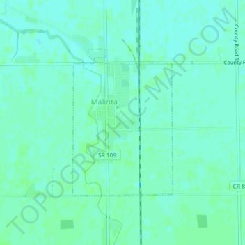
Name: Malinta topographic map, elevation, terrain.
Location: Malinta, Monroe Township, Henry County, Ohio, United States (41.31219 -84.04265 41.32836 -84.02794)
Average elevation: 209 m
Minimum elevation: 205 m
Maximum elevation: 211 m
Thank you for supporting this site ❤️
Make a donation
Make a donation
Other topographic maps
Click on a map to view its topography, its elevation and its terrain.