Lower Town topographic map
Click on the map to display elevation.
About this map
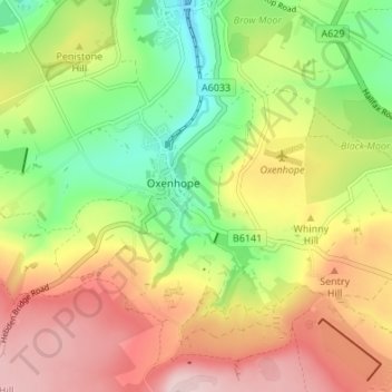
Name: Lower Town topographic map, elevation, terrain.
Average elevation: 308 m
Minimum elevation: 176 m
Maximum elevation: 451 m

Click on the map to display elevation.
Name: Lower Town topographic map, elevation, terrain.
Average elevation: 308 m
Minimum elevation: 176 m
Maximum elevation: 451 m