
Thank you for supporting this site ❤️
Make a donation
Make a donation
Stembert topographic map
Click on the map to display elevation.
Thank you for supporting this site ❤️
Make a donation
Make a donation
About this map
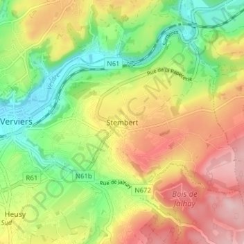
Name: Stembert topographic map, elevation, terrain.
Location: Stembert, Verviers, Liège, Wallonie, 4800, Belgique (50.57311 5.87528 50.61311 5.91528)
Average elevation: 257 m
Minimum elevation: 168 m
Maximum elevation: 357 m
Thank you for supporting this site ❤️
Make a donation
Make a donation