
Malaa topographic map
Interactive map
Click on the map to display elevation.
About this map
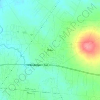
Name: Malaa topographic map, elevation, terrain.
Location: Malaa, Machakos, Kenya (-1.29129 37.11735 -1.25129 37.15735)
Average elevation: 1,489 m
Minimum elevation: 1,458 m
Maximum elevation: 1,567 m