
Doomkerke topographic map
Interactive map
Click on the map to display elevation.
About this map
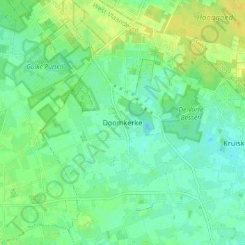
Name: Doomkerke topographic map, elevation, terrain.
Location: Doomkerke, Ruiselede, Tielt, West-Vlaanderen, Vlaanderen, België (51.05043 3.33659 51.09043 3.37659)
Average elevation: 19 m
Minimum elevation: 10 m
Maximum elevation: 30 m