
Galo topographic map
Click on the map to display elevation.
About this map
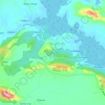
Name: Galo topographic map, elevation, terrain.
Location: Galo, Decalachao, Coron, Palawan, Mimaropa, Philippines (12.12974 120.06506 12.16974 120.10506)
Average elevation: 38 m
Minimum elevation: 0 m
Maximum elevation: 193 m