
Sonsbeck topographic map
Interactive map
Click on the map to display elevation.
About this map
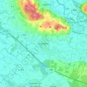
Name: Sonsbeck topographic map, elevation, terrain.
Location: Sonsbeck, Kreis Wesel, Noordrijn-Westfalen, 47665, Duitsland (51.56941 6.33604 51.64941 6.41604)
Average elevation: 31 m
Minimum elevation: 18 m
Maximum elevation: 92 m