
Send topographic map
Click on the map to display elevation.
About this map
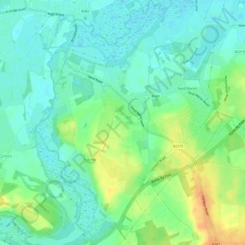
Name: Send topographic map, elevation, terrain.
Location: Send, Guildford, Surrey, England, United Kingdom (51.26676 -0.54921 51.30436 -0.49931)
Average elevation: 32 m
Minimum elevation: 19 m
Maximum elevation: 56 m