
Thank you for supporting this site ❤️
Make a donation
Make a donation
Botor topographic map
Click on the map to display elevation.
Thank you for supporting this site ❤️
Make a donation
Make a donation
About this map
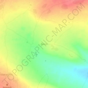
Name: Botor topographic map, elevation, terrain.
Location: Botor, Gabiley District, Woqooyi Galbeed, Somaliland, Somalia (9.68975 43.47161 9.72975 43.51161)
Average elevation: 1,572 m
Minimum elevation: 1,536 m
Maximum elevation: 1,603 m
Thank you for supporting this site ❤️
Make a donation
Make a donation