
Thank you for supporting this site ❤️
Make a donation
Make a donation
Pedregal topographic map
Click on the map to display elevation.
Thank you for supporting this site ❤️
Make a donation
Make a donation
About this map
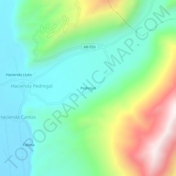
Name: Pedregal topographic map, elevation, terrain.
Location: Pedregal, Uraca, Castilla, Arequipa, Perú (-16.24431 -72.45717 -16.20431 -72.41717)
Average elevation: 712 m
Minimum elevation: 408 m
Maximum elevation: 1,408 m
Thank you for supporting this site ❤️
Make a donation
Make a donation