
Parque Bicentenario topographic map
Interactive map
Click on the map to display elevation.
About this map
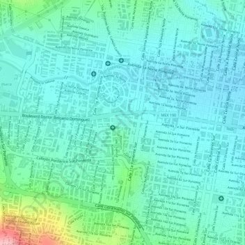
Name: Parque Bicentenario topographic map, elevation, terrain.
Location: Parque Bicentenario, Tuxtla Gutiérrez, Chiapas, México (16.75284 -93.12901 16.75478 -93.12669)
Average elevation: 554 m
Minimum elevation: 520 m
Maximum elevation: 685 m
Other topographic maps
Click on a map to view its topography, its elevation and its terrain.
Cañón del Sumidero
México > Chiapas > Tuxtla Gutiérrez > Tuxtla Gutiérrez
Cañón del Sumidero, Tuxtla Gutiérrez, Chiapas, México
Average elevation: 1,097 m