
Thank you for supporting this site ❤️
Make a donation
Make a donation
Mangali topographic map
Click on the map to display elevation.
Thank you for supporting this site ❤️
Make a donation
Make a donation
About this map
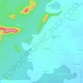
Name: Mangali topographic map, elevation, terrain.
Location: Mangali, Lakhani Taluka, Bhandara, Maharashtra, India (20.93163 79.79936 20.98712 79.82952)
Average elevation: 264 m
Minimum elevation: 239 m
Maximum elevation: 417 m
Thank you for supporting this site ❤️
Make a donation
Make a donation