
Thank you for supporting this site ❤️
Make a donation
Make a donation
San Benito topographic map
Click on the map to display elevation.
Thank you for supporting this site ❤️
Make a donation
Make a donation
About this map
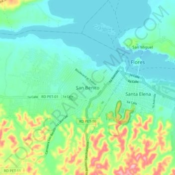
Name: San Benito topographic map, elevation, terrain.
Location: San Benito, Petén, 01701, Guatemala (16.88277 -89.95733 16.96277 -89.87733)
Average elevation: 145 m
Minimum elevation: 105 m
Maximum elevation: 272 m
Thank you for supporting this site ❤️
Make a donation
Make a donation
Other topographic maps
Click on a map to view its topography, its elevation and its terrain.