
Thank you for supporting this site ❤️
Make a donation
Make a donation
Alvaschein topographic map
Click on the map to display elevation.
Thank you for supporting this site ❤️
Make a donation
Make a donation
Alvaschein
Der Ort liegt in der Region Surmeir auf einer Anhöhe 200 m über dem Albulatal zwischen dem Rheintal und dem Engadin. Vom ehemaligen Gemeindegebiet von 406 ha sind 236 ha Wald, 127 ha landwirtschaftliche Nutzfläche (Wies- und Ackerland), 30 ha Siedlungsfläche und 13 ha unproduktive Fläche.
Thank you for supporting this site ❤️
Make a donation
Make a donation
About this map
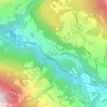
Name: Alvaschein topographic map, elevation, terrain.
Location: Alvaschein, Albula, Graubünden, 7451, Schweiz (46.65506 9.53032 46.69506 9.57032)
Average elevation: 1,205 m
Minimum elevation: 777 m
Maximum elevation: 1,962 m
Thank you for supporting this site ❤️
Make a donation
Make a donation