
Thank you for supporting this site ❤️
Make a donation
Make a donation
Las Cruces topographic map
Click on the map to display elevation.
Thank you for supporting this site ❤️
Make a donation
Make a donation
About this map
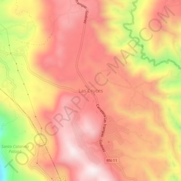
Name: Las Cruces topographic map, elevation, terrain.
Location: Las Cruces, San Andrés Semetabaj, Sololá, Guatemala (14.71171 -91.12890 14.75171 -91.08890)
Average elevation: 2,158 m
Minimum elevation: 1,644 m
Maximum elevation: 2,424 m
Thank you for supporting this site ❤️
Make a donation
Make a donation