
vegetation topographic map
Click on the map to display elevation.
About this map
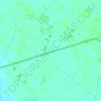
Name: vegetation topographic map, elevation, terrain.
Location: vegetation, Sirathu, Kaushambi, Uttar Pradesh, India (25.54652 81.44882 25.54662 81.44892)
Average elevation: 103 m
Minimum elevation: 99 m
Maximum elevation: 106 m