
Thank you for supporting this site ❤️
Make a donation
Make a donation
Bolívar topographic map
Click on the map to display elevation.
Thank you for supporting this site ❤️
Make a donation
Make a donation
About this map
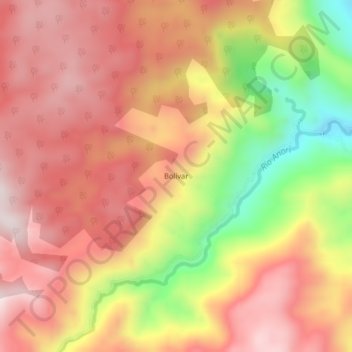
Name: Bolívar topographic map, elevation, terrain.
Location: Bolívar, Anorí, Nordeste, Antioquia, Colombia (7.10806 -75.12176 7.14806 -75.08176)
Average elevation: 1,296 m
Minimum elevation: 923 m
Maximum elevation: 1,525 m
Thank you for supporting this site ❤️
Make a donation
Make a donation
Other topographic maps
Click on a map to view its topography, its elevation and its terrain.