
Thank you for supporting this site ❤️
Make a donation
Make a donation
Aranya topographic map
Click on the map to display elevation.
Thank you for supporting this site ❤️
Make a donation
Make a donation
About this map
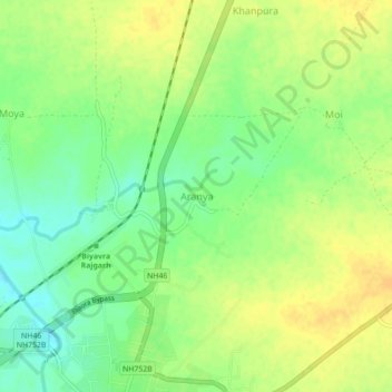
Name: Aranya topographic map, elevation, terrain.
Location: Aranya, Biaora Tahsil, Rajgarh, Madhya Pradesh, 465674, India (23.92192 76.89957 23.96192 76.93957)
Average elevation: 428 m
Minimum elevation: 413 m
Maximum elevation: 440 m
Thank you for supporting this site ❤️
Make a donation
Make a donation
Other topographic maps
Click on a map to view its topography, its elevation and its terrain.