
Mount Kaba topographic map
Click on the map to display elevation.
About this map
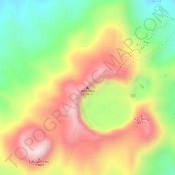
Name: Mount Kaba topographic map, elevation, terrain.
Location: Mount Kaba, Bengkulu, Indonesia (-3.51231 102.62318 -3.51221 102.62328)
Average elevation: 1,737 m
Minimum elevation: 1,510 m
Maximum elevation: 1,940 m