
Dragočajna topographic map
Interactive map
Click on the map to display elevation.
About this map
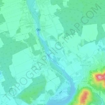
Name: Dragočajna topographic map, elevation, terrain.
Average elevation: 359 m
Minimum elevation: 329 m
Maximum elevation: 494 m
Other topographic maps
Click on a map to view its topography, its elevation and its terrain.
Zaier
Zaier, Zwischenwassern, Upravna Enota Ljubljana, 4420, Slowenien
Average elevation: 411 m