
Thank you for supporting this site ❤️
Make a donation
Make a donation
Vanavasi topographic map
Click on the map to display elevation.
Thank you for supporting this site ❤️
Make a donation
Make a donation
About this map
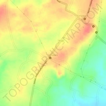
Name: Vanavasi topographic map, elevation, terrain.
Location: Vanavasi, Mettur, Salem District, Tamil Nadu, India (11.74881 77.87667 11.75393 77.88577)
Average elevation: 341 m
Minimum elevation: 304 m
Maximum elevation: 364 m
Thank you for supporting this site ❤️
Make a donation
Make a donation
Other topographic maps
Click on a map to view its topography, its elevation and its terrain.