
Oregon City topographic map
Interactive map
Click on the map to display elevation.
About this map
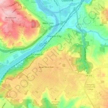
Name: Oregon City topographic map, elevation, terrain.
Average elevation: 99 m
Minimum elevation: -1 m
Maximum elevation: 227 m
Other topographic maps
Click on a map to view its topography, its elevation and its terrain.
Sandy
United States > Oregon > Clackamas County
Sandy, Clackamas County, Oregon, 97055, United States
Average elevation: 247 m