
Holland topographic map
Interactive map
Click on the map to display elevation.
About this map
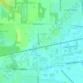
Name: Holland topographic map, elevation, terrain.
Location: Holland, Lucas County, Ohio, United States (41.60658 -83.71767 41.63190 -83.69216)
Average elevation: 196 m
Minimum elevation: 190 m
Maximum elevation: 206 m
Other topographic maps
Click on a map to view its topography, its elevation and its terrain.
Toledo
United States > Ohio > Lucas County
Toledo, Lucas County, Ohio, United States
Average elevation: 187 m