
Vera topographic map
Interactive map
Click on the map to display elevation.
About this map
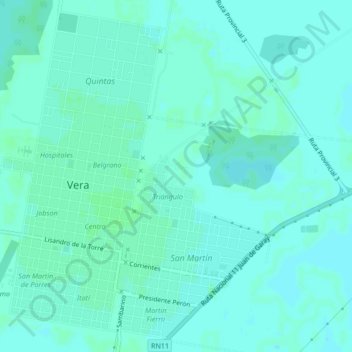
Name: Vera topographic map, elevation, terrain.
Location: Vera, Departamento Vera, Santa Fe, Argentina (-29.47408 -60.22532 -29.43968 -60.18316)
Average elevation: 59 m
Minimum elevation: 56 m
Maximum elevation: 62 m
Other topographic maps
Click on a map to view its topography, its elevation and its terrain.